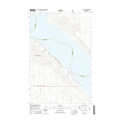
2014 Map of Rat Lake SW
USGS Topo · Published 2014About this map
Little Missouri National Grassland dominates the western topography of this McKenzie County landscape, where the high prairie breaks sharply toward the Missouri River valley. The map documents the vast reach of Lake Sakakawea, which floods the Missouri valley at the meeting point of McKenzie and Mountrail counties. This 2014 survey captures a rural infrastructure of gravel roads and section lines, including Co Rte 6 and 42nd St NW, crossing a dissected terrain of coulees and draws. Significant drainages like Little Antelope Cr and Antelope Cr carve deep paths through the grassland towards the reservoir, illustrating the complex erosion patterns typical of the North Dakota badlands region before these waters were harnessed for modern use.
Find a feature on this map
13 named features on this map. Tap any name to fly to it.
Don’t see what you’re looking for? This feature index may not catch every label — zoom into the map to look around manually.
Map Details
Editions of this 2014 Rat Lake SW Map
This is the sole edition of this map. No revisions or reprints were ever made.
Other maps of this area

1953 · Williston
USGS Topo · 1:250,000

1953 · Watford City
USGS Topo · 1:250,000

1957 · Williston
USGS Topo · 1:250,000

1957 · Watford City
USGS Topo · 1:250,000

1965 · Charlson
USGS Topo · 1:24,000

1965 · Blue Buttes
USGS Topo · 1:24,000

1965 · Charlson NE
USGS Topo · 1:24,000

1967 · Watford City
USGS Topo · 1:250,000

1967 · Sanish NW
USGS Topo · 1:24,000

1967 · Sanish
USGS Topo · 1:24,000