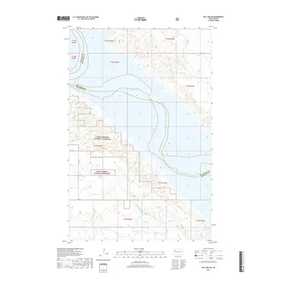
2017 Map of Rat Lake SW
USGS Topo · Published 2017About this map
Little Missouri National Grassland dominates the western and southern reaches of this landscape, reflecting the expansive public conservation efforts within the Missouri River basin. The geography is defined by the massive reservoir of Lake Sakakawea, which carves through the center of the sheet, separating the upland prairies of McKenzie Co and Mountrail Co. This high-desert terrain is deeply incised by the drainages of Little Antelope Cr and Antelope Cr, which feed into the main body of the lake. The road network is sparse, consisting primarily of section-line routes such as 48th Ave NW and Co Rte 6, illustrating the low-density grazing and ranching character of the region. The map provides a clear look at the intricate shoreline and the legal boundaries of the public grasslands in the years following the mid-20th-century damming of the Missouri.
Find a feature on this map
17 named features on this map. Tap any name to fly to it.
Don’t see what you’re looking for? This feature index may not catch every label — zoom into the map to look around manually.
Map Details
Editions of this 2017 Rat Lake SW Map
This is the sole edition of this map. No revisions or reprints were ever made.
Other maps of this area

1953 · Williston
USGS Topo · 1:250,000

1953 · Watford City
USGS Topo · 1:250,000

1957 · Williston
USGS Topo · 1:250,000

1957 · Watford City
USGS Topo · 1:250,000

1965 · Charlson
USGS Topo · 1:24,000

1965 · Blue Buttes
USGS Topo · 1:24,000

1965 · Charlson NE
USGS Topo · 1:24,000

1967 · Watford City
USGS Topo · 1:250,000

1967 · Sanish NW
USGS Topo · 1:24,000

1967 · Sanish
USGS Topo · 1:24,000