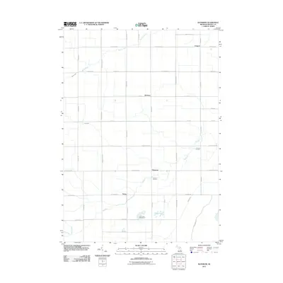
2011 Map of Rathbone
USGS Topo · Published 2011About this map
Bad River and its several tributaries, including Potato Creek and Shad Creek, define the drainage of this central Michigan agricultural landscape. The township's geometric road grid organizes a series of small rural settlements such as Edgewood, Sickles, and Rathbone. These intersections represent the local centers of 19th-century farming life, where community identity was rooted in the proximity of family plots and local burial grounds like Lafayette Cemetery and Hamilton Cemetery.
Find a feature on this map
40 named features on this map. Tap any name to fly to it.
Don’t see what you’re looking for? This feature index may not catch every label — zoom into the map to look around manually.
Map Details
Editions of this 2011 Rathbone Map
This is the sole edition of this map. No revisions or reprints were ever made.
Other maps of this area

1918 · Elsie
USGS Topo · 1:62,500

1918 · Perrinton
USGS Topo · 1:62,500

1934 · Merrill
USGS Topo · 1:62,500

1935 · Alma
USGS Topo · 1:62,500

1937 · Merrill
USGS Topo · 1:62,500

1938 · Alma
USGS Topo · 1:62,500

1943 · Perrinton
USGS Topo · 1:62,500

1943 · Elsie
USGS Topo · 1:62,500

1954 · Midland
USGS Topo · 1:250,000

1958 · Midland
USGS Topo · 1:250,000