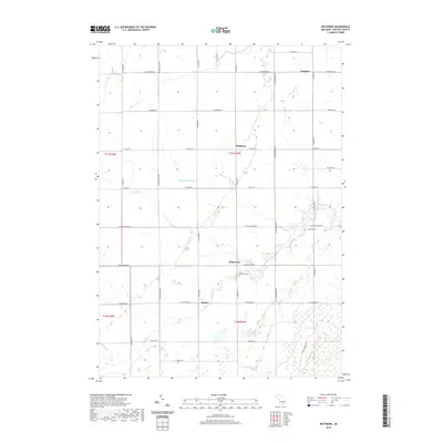
2019 Map of Rathbone
USGS Topo · Published 2019About this map
Edgewood and Rathbone anchor this agricultural landscape in eastern Michigan, where a network of section-line roads defines the rural character of Gratiot County. The area is heavily influenced by a drainage system that includes Bad River, Potato Cr, and the long Huckleberry Drain, reflecting the engineering required to manage this low-lying territory for farming. Small hamlets like Sickles and Langport appear as quiet clusters among the fields, while the Lafayette Cem and Hamilton Cem provide clear points of reference for genealogists tracing local families. The map reveals a highly structured environment where the natural flow of creeks like Beaver Cr and Shad Cr contrasts with the rigid grid of the Public Land Survey System, illustrating the 19th-century organization of Michigan's interior that persisted into the late 2010s.
Find a feature on this map
40 named features on this map. Tap any name to fly to it.
Don’t see what you’re looking for? This feature index may not catch every label — zoom into the map to look around manually.
Map Details
Editions of this 2019 Rathbone Map
This is the sole edition of this map. No revisions or reprints were ever made.
Other maps of this area

1918 · Elsie
USGS Topo · 1:62,500

1918 · Perrinton
USGS Topo · 1:62,500

1934 · Merrill
USGS Topo · 1:62,500

1935 · Alma
USGS Topo · 1:62,500

1937 · Merrill
USGS Topo · 1:62,500

1938 · Alma
USGS Topo · 1:62,500

1943 · Perrinton
USGS Topo · 1:62,500

1943 · Elsie
USGS Topo · 1:62,500

1954 · Midland
USGS Topo · 1:250,000

1958 · Midland
USGS Topo · 1:250,000