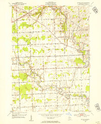
1952 Map of Rattle Run
USGS Topo · Published 1954About this map
Belle River and its tributary Rattle Run wind through this St. Clair County landscape during the early 1950s, defining a rural community organized around water-powered history and small-town infrastructure. The map reveals a dense network of one-room schoolhouses such as Wright Sch, Carleton Sch, and Big Hand Sch that served the agricultural townships of China, St. Clair, and Casco. Significant local landmarks include the Bell River Mills settlement and its nearby Bell River Mills School, along with the Town Hall and Maple Ridge Cemetery.
Find a feature on this map
47 named features on this map. Tap any name to fly to it.
Don’t see what you’re looking for? This feature index may not catch every label — zoom into the map to look around manually.
Map Details
Editions of this 1952 Rattle Run Map
2 editions found
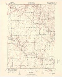
Other maps of this area

1912 · Port Huron
USGS Topo · 1:62,500

1914 · Algonac
USGS Topo · 1:62,500

1928 · Hicky
USGS Topo · 1:62,500

1929 · Port Huron
USGS Topo · 1:62,500

1936 · St. Clair
USGS Topo · 1:31,680

1936 · Rattle Run
USGS Topo · 1:31,680

1936 · New Baltimore
USGS Topo · 1:31,680

1939 · New Baltimore
USGS Topo · 1:24,000

1939 · Adair
USGS Topo · 1:24,000

1939 · Port Huron
USGS Topo · 1:24,000
Featured Places
- Saint Clair, MI
- Columbus Township, MI
- East China Charter Township, MI
- Casco Township, MI
- China Charter Township, MI