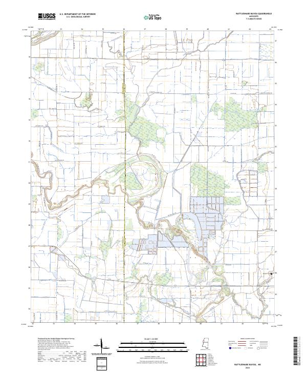
2024 Map of Rattlesnake Bayou
USGS Topo · Published 2024About this map
The Quiver River and its intricate network of tributaries define the agricultural character of this Mississippi Delta landscape along the Sunflower and Leflore County line. The map reveals a highly structured drainage system where Fighting Bayou, Dugan Bayou, and Rattlesnake Bayou wind through partitioned fields. This 2024 edition shows the modern road grid that has evolved from earlier settlement patterns, with family-named routes such as Lucy Manning St and Marlow Rd providing access to the interior.
Find a feature on this map
57 named features on this map. Tap any name to fly to it.
Don’t see what you’re looking for? This feature index may not catch every label — zoom into the map to look around manually.
Map Details
Editions of this 2024 Rattlesnake Bayou Map
This is the sole edition of this map. No revisions or reprints were ever made.
Other maps of this area

1931 · Schlater
USGS Topo · 1:48,000

1931 · Sumner
USGS Topo · 1:48,000

1931 · Drew
USGS Topo · 1:48,000

1934 · Cleveland
USGS Topo · 1:62,500

1934 · Schlater
USGS Topo · 1:62,500

1935 · Sumner
USGS Topo · 1:62,500

1935 · Mound Bayou
USGS Topo · 1:62,500

1939 · Schlater
USGS Topo · 1:62,500

1939 · Sumner
USGS Topo · 1:62,500

1940 · Cleveland
USGS Topo · 1:62,500