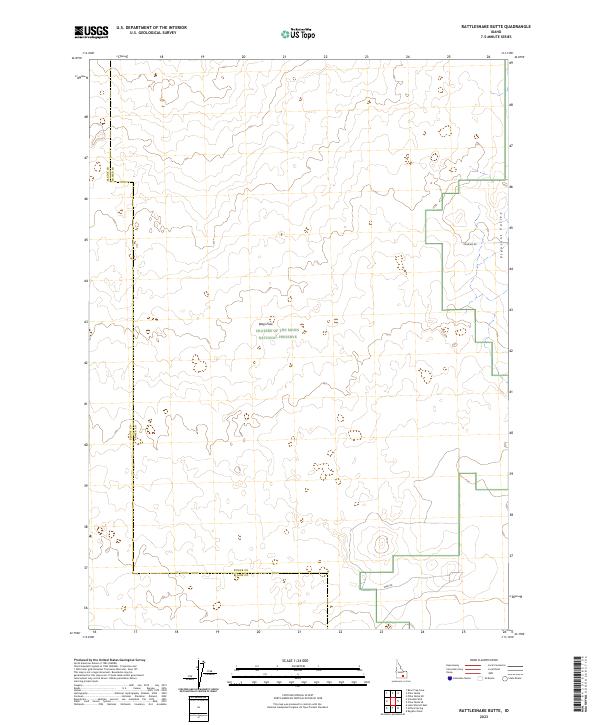
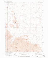
2023 Map of Rattlesnake Butte
USGS Topo · Published 2023About this map
Craters of the Moon National Preserve dominates this portion of the Snake River Plain, where the volcanic topography of the Wapi Flow creates a distinct, sparsely populated landscape. The map captures the boundary lines between Blaine County and Power County, illustrating how modern administrative borders intersect with ancient geological features. To the east, the terrain transitions into Pleasant Valley, where the land begins to level out away from the lava beds. Though infrastructure is minimal in this protected region, historical access is traced through routes like Gehring Rd and Wapi Rd, which skirt the edges of the preserve and provide connection through the high desert environment.
Find a feature on this map
14 named features on this map. Tap any name to fly to it.
Don’t see what you’re looking for? This feature index may not catch every label — zoom into the map to look around manually.
Map Details
Editions of this 2023 Rattlesnake Butte Map
This is the sole edition of this map. No revisions or reprints were ever made.
Other maps of this area

1954 · Pocatello
USGS Topo · 1:250,000

1958 · Pocatello
USGS Topo · 1:250,000

1959 · Lake Walcott
USGS Topo · 1:62,500

1959 · Yale
USGS Topo · 1:62,500

1972 · Schodde Well
USGS Topo · 1:24,000
1972 · Rattlesnake Butte
USGS Topo · 1:24,000

1972 · Bear Trap Cave
USGS Topo · 1:24,000
1972 · Pillar Butte SE
USGS Topo · 1:24,000
1972 · Pillar Butte NE
USGS Topo · 1:24,000
1972 · Pillar Butte
USGS Topo · 1:24,000