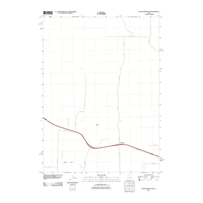
2011 Map of Rattlesnake Pass
USGS Topo · Published 2011About this map
Rattlesnake Pass serves as a critical topographic notch in this high-desert corridor of Box Elder County, where modern infrastructure follows ancient natural routes. The landscape is dominated by the broad expanse of Hansel Valley, a dry basin defined by the intermittent drainage of Hansel Valley Wash. Rising above the valley floor, Franklin Hill stands as a prominent local landmark amidst a strictly organized grid of rural roads such as W 26400 N and N 20000 W. This 2011 survey illustrates the transition of the Great Basin terrain into a managed agricultural and transit zone, where the primary thoroughfare is shadowed by the service-oriented Frontage Rd, reflecting the modern evolution of travel through this historically significant mountain gap.
Find a feature on this map
17 named features on this map. Tap any name to fly to it.
Don’t see what you’re looking for? This feature index may not catch every label — zoom into the map to look around manually.
Map Details
Editions of this 2011 Rattlesnake Pass Map
This is the sole edition of this map. No revisions or reprints were ever made.
Other maps of this area

1954 · Pocatello
USGS Topo · 1:250,000

1954 · Brigham City
USGS Topo · 1:250,000

1958 · Pocatello
USGS Topo · 1:250,000

1958 · Brigham City
USGS Topo · 1:250,000

1962 · Brigham City
USGS Topo · 1:250,000

1968 · Grover Canyon
USGS Topo · 1:24,000

1968 · Howell
USGS Topo · 1:24,000

1968 · Salt Wells
USGS Topo · 1:24,000

1968 · Ridgedale Pass
USGS Topo · 1:24,000

1968 · Rattlesnake Pass
USGS Topo · 1:24,000