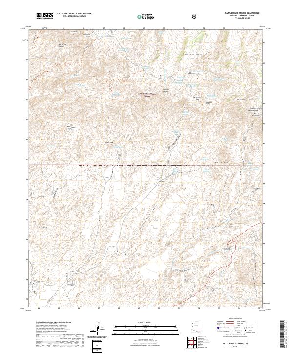
2021 Map of Rattlesnake Spring
USGS Topo · Published 2021About this map
The Apache National Forest dominates this section of eastern Arizona, where high-elevation landforms like Hamilton Mesa and Brushy Mtn define a landscape of deep canyons and seasonal water sources. The map reveals an intricate network of drainage systems including Sixshooter Canyon, Buzzard Roost Canyon, and Rustlers Canyon, reflecting the complex topography of the Big Lue Mountains.
Find a feature on this map
83 named features on this map. Tap any name to fly to it.
Don’t see what you’re looking for? This feature index may not catch every label — zoom into the map to look around manually.
Map Details
Editions of this 2021 Rattlesnake Spring Map
This is the sole edition of this map. No revisions or reprints were ever made.
Other maps of this area

1902 · Clifton
USGS Topo · 1:62,500

1913 · Morenci
USGS Topo · 1:125,000

1915 · Morenci
USGS Topo · 1:125,000

1954 · Silver City
USGS Topo · 1:250,000

1954 · Clifton
USGS Topo · 1:250,000

1957 · Clifton
USGS Topo · 1:250,000

1958 · Silver City
USGS Topo · 1:250,000

1958 · Clifton
USGS Topo · 1:250,000

1959 · York Valley
USGS Topo · 1:62,500

1960 · Guthrie
USGS Topo · 1:62,500