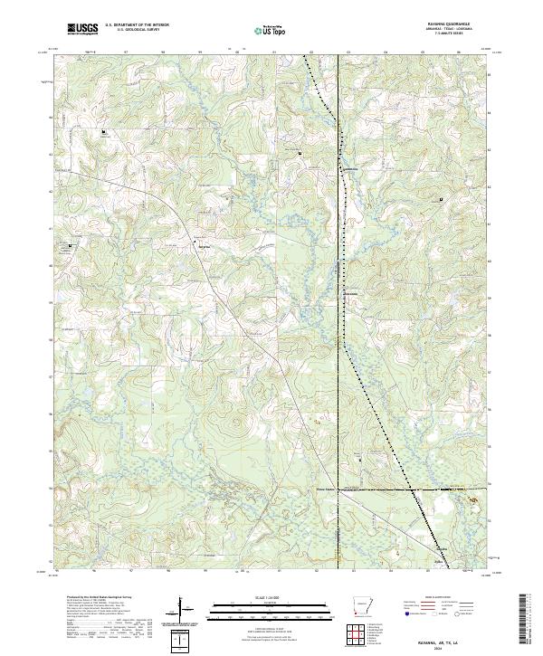
2024 Map of Ravanna
USGS Topo · Published 2024About this map
Three States marks a unique tri-point where Arkansas, Louisiana, and Texas converge, a geographical anchor in this landscape of bayous and borderlands. The terrain is defined by the winding course of Black Bayou and State Line Creek, which weave through the low-lying wetlands typical of the Red River valley region. This modern survey provides a detailed view of local genealogy through numerous burial grounds, including Smyrna Cem, Enon Cem, and Beech Creek Cem. Small rural settlements like Smyrna, Hammons, and Ravanna are connected by a network of farm-to-market roads and county routes. The map records a primarily agricultural and timbered landscape where natural drainages like Lick Creek and S Boggie Sl still dictate the placement of roads and homesteads across Miller County and its neighboring parishes.
Find a feature on this map
91 named features on this map. Tap any name to fly to it.
Don’t see what you’re looking for? This feature index may not catch every label — zoom into the map to look around manually.
Map Details
Editions of this 2024 Ravanna Map
This is the sole edition of this map. No revisions or reprints were ever made.
Other maps of this area

1907 · Atlanta
USGS Topo · 1:62,500

1910 · Atlanta
USGS Topo · 1:62,500

1932 · Hosston NW
USGS Topo · 1:31,680

1944 · Kildare
USGS Topo · 1:62,500

1948 · Kildare
USGS Topo · 1:62,500

1948 · Vivian
USGS Topo · 1:62,500

1952 · Doddridge NW
USGS Topo · 1:24,000

1952 · Doddridge
USGS Topo · 1:24,000

1953 · Texarkana
USGS Topo · 1:250,000

1953 · El Dorado
USGS Topo · 1:250,000