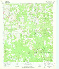
1969 Map of Ravanna
USGS Topo · Published 1973About this map
The Rodessa Oil and Gas Field defines the industrial footprint of this tri-state corner, where the borders of Texas, Arkansas, and Louisiana converge. This 1969 survey captures the rural landscape as a network of pipelines and drilling sites, evidenced by labels like Oil Well and Drill Hole. The social heart of the area is found in its scattered country churches and graveyards, including Beach Creek Cem, New Hope Ch, and Alamance Ch.
Find a feature on this map
38 named features on this map. Tap any name to fly to it.
Don’t see what you’re looking for? This feature index may not catch every label — zoom into the map to look around manually.
Map Details
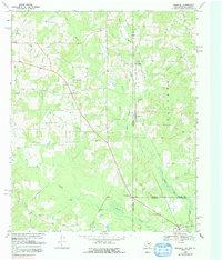
Editions of this 1969 Ravanna Map
2 editions found
Other maps of this area

1907 · Atlanta
USGS Topo · 1:62,500

1910 · Atlanta
USGS Topo · 1:62,500

1932 · Hosston NW
USGS Topo · 1:31,680

1944 · Kildare
USGS Topo · 1:62,500

1948 · Kildare
USGS Topo · 1:62,500

1948 · Vivian
USGS Topo · 1:62,500

1952 · Doddridge NW
USGS Topo · 1:24,000

1952 · Doddridge
USGS Topo · 1:24,000

1953 · Texarkana
USGS Topo · 1:250,000

1953 · El Dorado
USGS Topo · 1:250,000