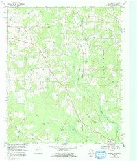
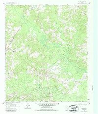
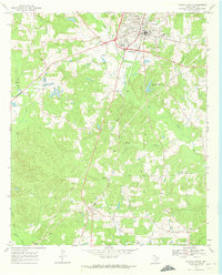
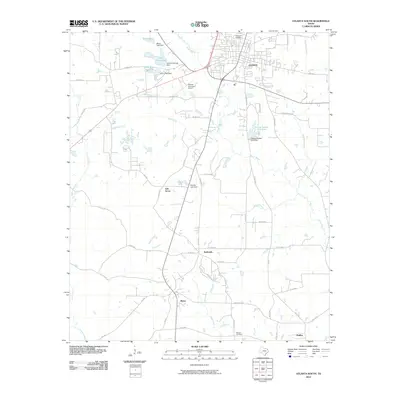
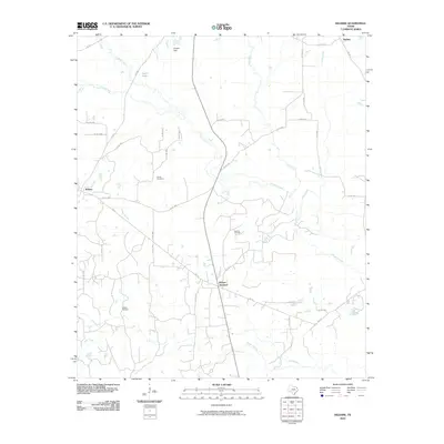
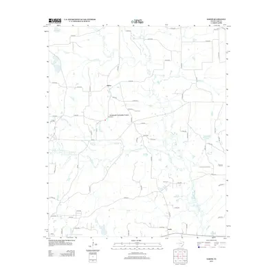
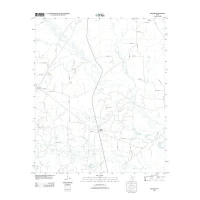
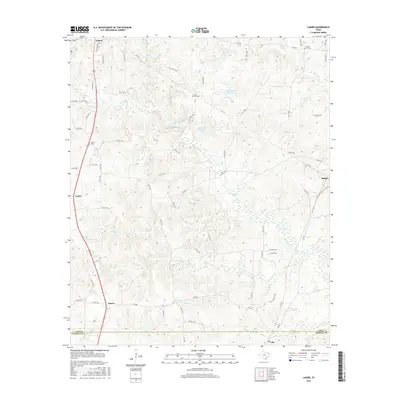
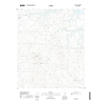
1969 Map of Ravanna
USGS Topo · Published 1991About this map
The tri-state junction where Texas, Arkansas, and Louisiana converge marks this 1969 survey, characterized by the uniquely named settlement of Loutexark. This convergence zone is dotted with rural centers like Three States and Ravanna, where the State Line roadway serves as a literal boundary through the landscape. The geography is defined by the winding course of the Sulphur River and the wetlands of Black Bayou, interspersed with family and community landmarks like Beach Creek Cem and Brown Cem. Community life is anchored by numerous rural congregations, including Alamance Ch, New Hope Ch, and Love Chapel. To the south, the economy transitions toward resource extraction, evidenced by the Gas and Oil Field near Sandra and Zylks.
Find a feature on this map
32 named features on this map. Tap any name to fly to it.
Don’t see what you’re looking for? This feature index may not catch every label — zoom into the map to look around manually.
Map Details
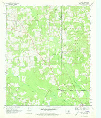
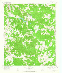
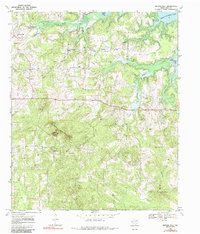
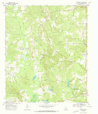
Editions of this 1969 Ravanna Map
2 editions found
Historical Maps of Atlanta Through Time
50 maps found
1914 Daingerfeild
Cass County, TX
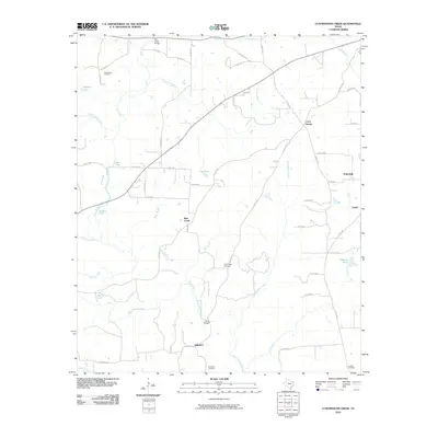
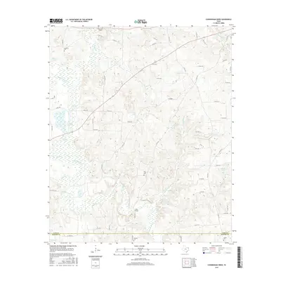
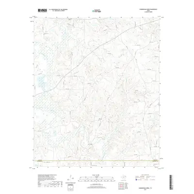
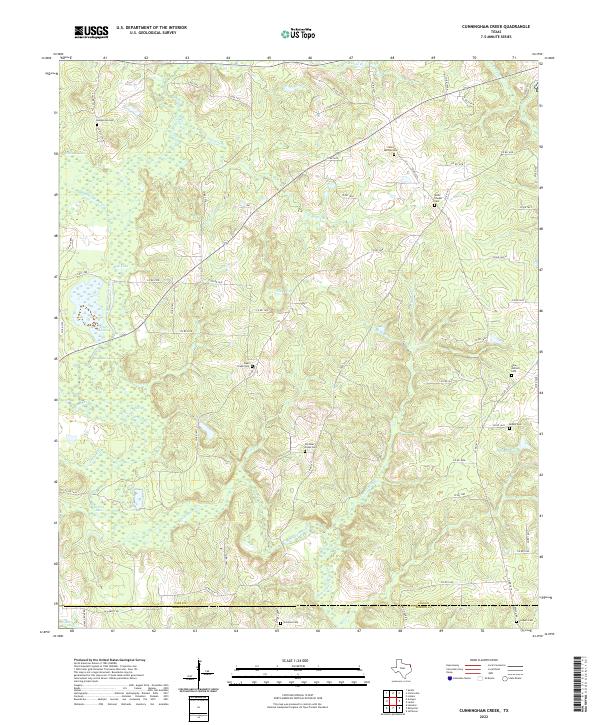
1961 Cunningham Creek
Cass County, TX
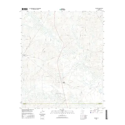
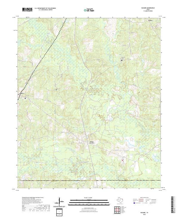
1962 Kildare
Cass County, TX
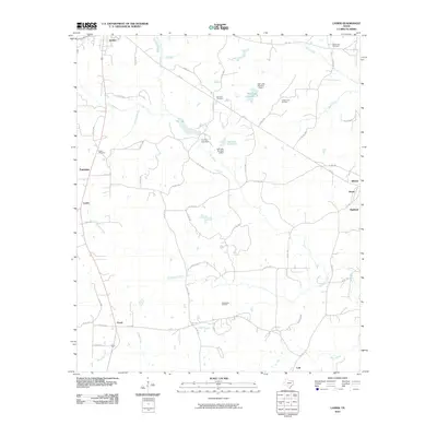
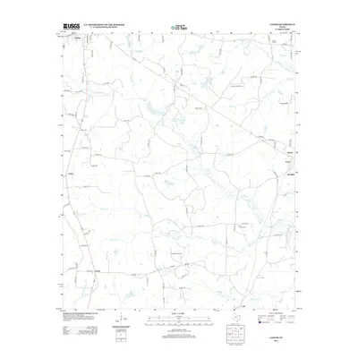
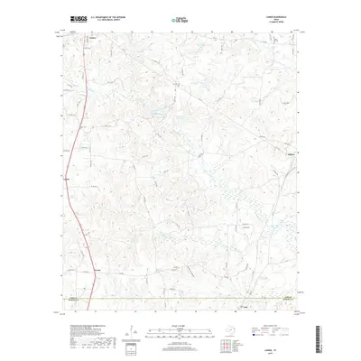
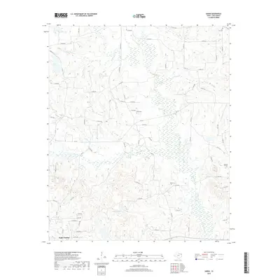
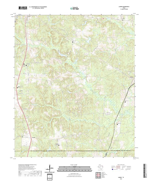
1962 Lanier
Cass County, TX
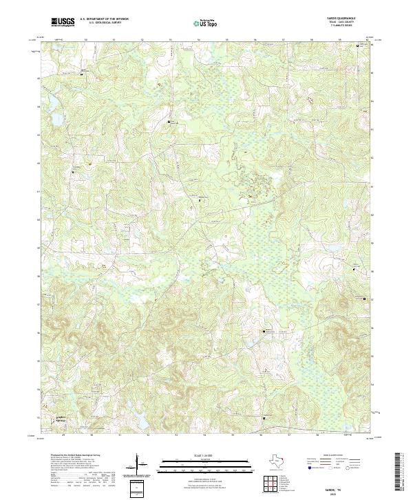
1965 Sardis
Cass County, TX
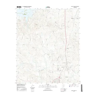
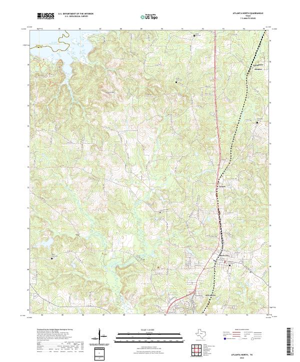
1969 Atlanta North
Cass County, TX
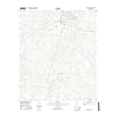
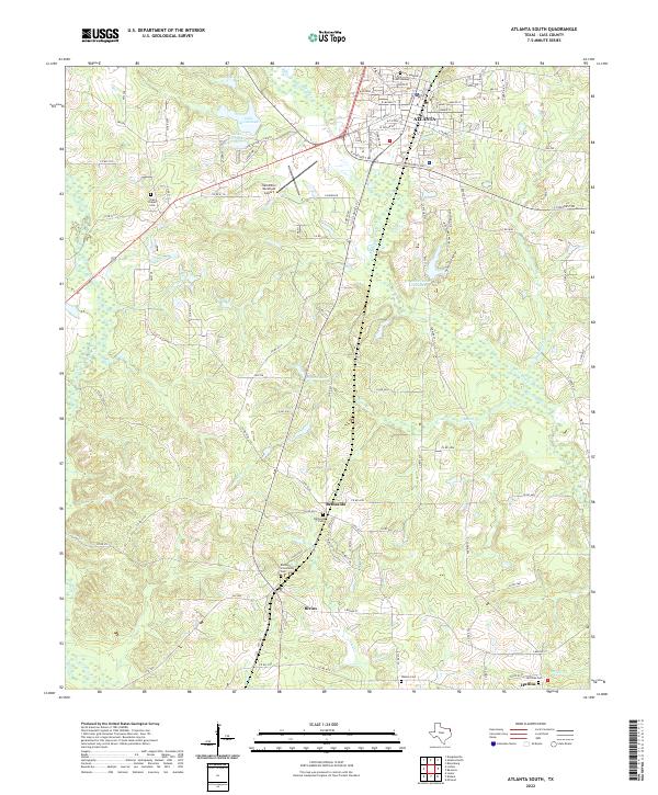
1969 Atlanta South
Cass County, TX
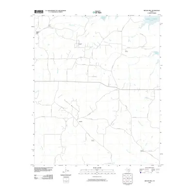
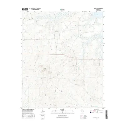
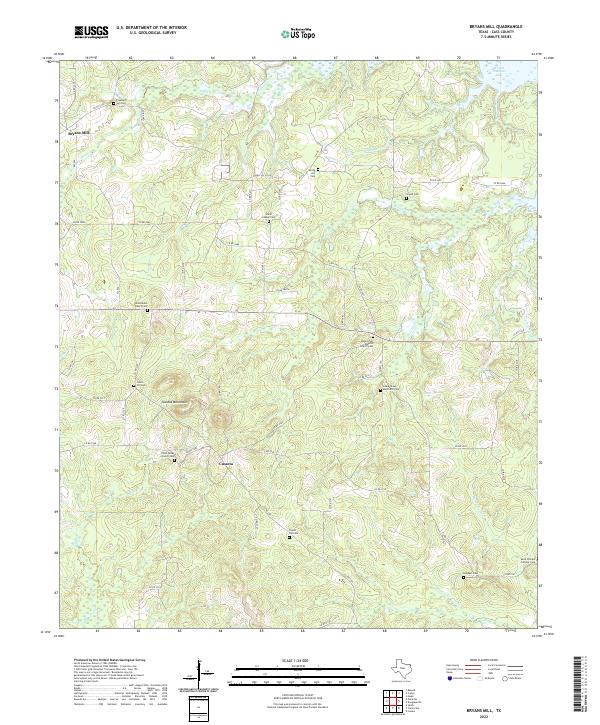
1969 Bryans Mill
Cass County, TX
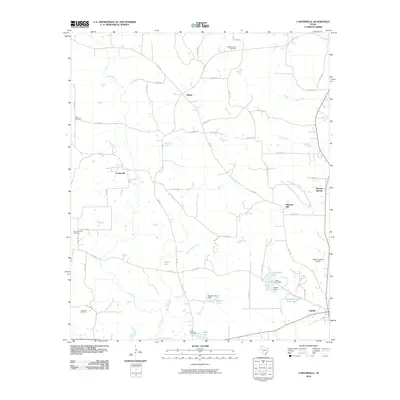
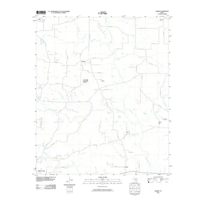
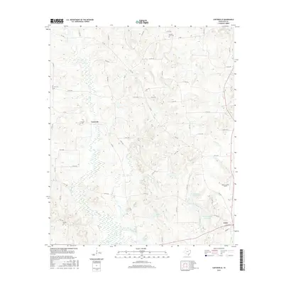
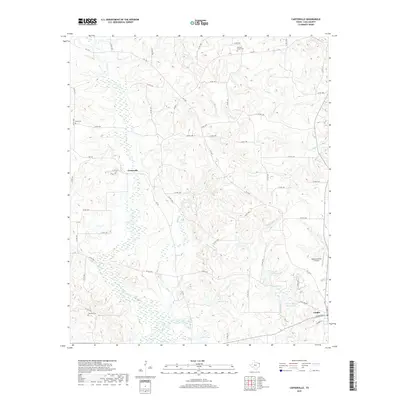
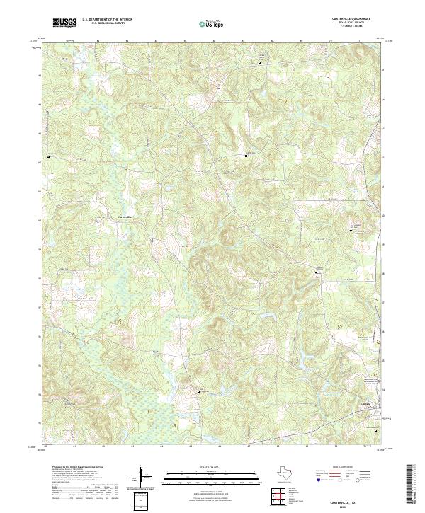
1969 Carterville
Cass County, TX
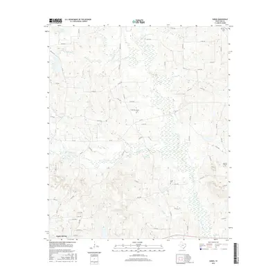
1969 Ravanna
Cass County, TX
2010 Atlanta North
Cass County, TX
2010 Atlanta South
Cass County, TX
2010 Bryans Mill
Cass County, TX
2010 Carterville
Cass County, TX
2010 Cunningham Creek
Cass County, TX
2010 Kildare
Cass County, TX
2010 Lanier
Cass County, TX
2010 Sardis
Cass County, TX
2012 Atlanta North
Cass County, TX
2012 Sardis
Cass County, TX
2013 Atlanta South
Cass County, TX

2013 Bryans Mill
Cass County, TX
2013 Carterville
Cass County, TX
2013 Cunningham Creek
Cass County, TX
2013 Kildare
Cass County, TX
2013 Lanier
Cass County, TX
2016 Atlanta North
Cass County, TX
2016 Atlanta South
Cass County, TX
2016 Bryans Mill
Cass County, TX
2016 Carterville
Cass County, TX
2016 Cunningham Creek
Cass County, TX
2016 Kildare
Cass County, TX
2016 Lanier
Cass County, TX
2016 Sardis
Cass County, TX
2019 Atlanta North
Cass County, TX
2019 Atlanta South
Cass County, TX
2019 Bryans Mill
Cass County, TX
2019 Carterville
Cass County, TX
2019 Cunningham Creek
Cass County, TX
2019 Kildare
Cass County, TX
2019 Lanier
Cass County, TX
2019 Sardis
Cass County, TX
2022 Atlanta North
Cass County, TX
2022 Atlanta South
Cass County, TX
2022 Bryans Mill
Cass County, TX
2022 Carterville
Cass County, TX
2022 Cunningham Creek
Cass County, TX
2022 Kildare
Cass County, TX
2022 Lanier
Cass County, TX
2022 Sardis
Cass County, TX