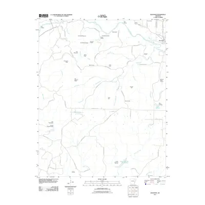
2011 Map of Ravenden
USGS Topo · Published 2011About this map
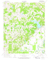
The Spring River winds through this corner of Lawrence County, anchoring a landscape defined by deep hollows and prominent ridges. Near the river's bend, the town of Ravenden serves as a local hub, while the settlement of Mount Olive sits further inland. The terrain is marked by distinctive family-named or descriptive landmarks such as Goat Shed Mountain, Panther Hill, and Buzzard Roost Canyon. Genealogists will find significant value in the distribution of burial sites across the quadrangle, including the Dail Cemetery in the north, Opposition Cemetery near Opposition Creek, and Coffman Cemetery to the south.
Find a feature on this map
83 named features on this map. Tap any name to fly to it.
Don’t see what you’re looking for? This feature index may not catch every label — zoom into the map to look around manually.
Map Details
Editions of this 2011 Ravenden Map
This is the sole edition of this map. No revisions or reprints were ever made.
Other maps of this area

1934 · Powhatan
USGS Topo · 1:62,500

1935 · Powhatan
USGS Topo · 1:62,500

1957 · Poplar Bluff
USGS Topo · 1:250,000

1959 · Poplar Bluff
USGS Topo · 1:250,000

1960 · Poplar Bluff
USGS Topo · 1:250,000
1965 · Poughkeepsie
USGS Topo · 1:24,000
1965 · Smithville
USGS Topo · 1:24,000

1966 · Ravenden Springs
USGS Topo · 1:24,000
1966 · Imboden
USGS Topo · 1:24,000
1966 · Eaton
USGS Topo · 1:24,000