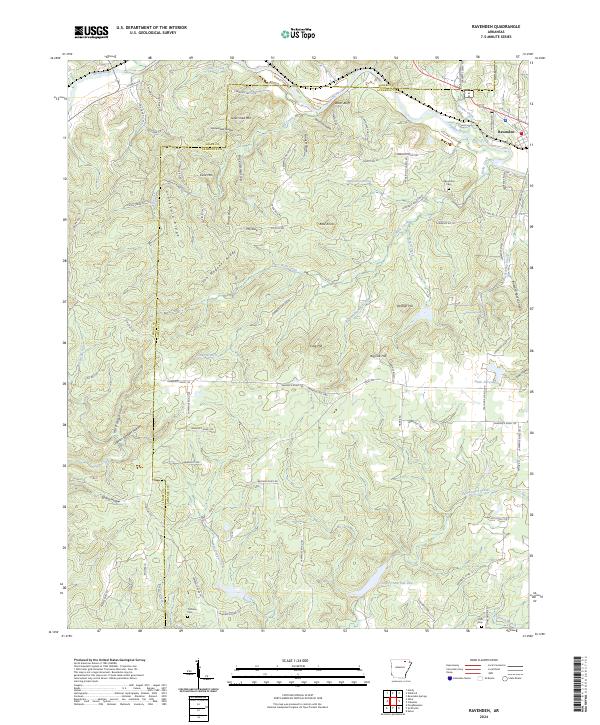
2024 Map of Ravenden
USGS Topo · Published 2024About this map
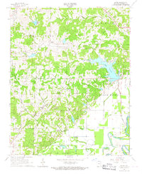
Ravenden sits at the edge of the Spring River, where the river's winding course cuts against prominent landforms like Watts Bluff. This portion of Lawrence County and Sharp County is defined by a dense network of ridges and hollows, including Van Wagoner Ridge and Graveyard Ridge, which likely suggest early local landmarks for the residents of the era. The mapping shows a landscape transitioning from the river lowlands to high points such as Goat Shed Mtn and Field Mtn, with rural life organized around established roads like Old Hwy 63.
Find a feature on this map
101 named features on this map. Tap any name to fly to it.
Don’t see what you’re looking for? This feature index may not catch every label — zoom into the map to look around manually.
Map Details
Editions of this 2024 Ravenden Map
This is the sole edition of this map. No revisions or reprints were ever made.
Other maps of this area

1934 · Powhatan
USGS Topo · 1:62,500

1935 · Powhatan
USGS Topo · 1:62,500

1957 · Poplar Bluff
USGS Topo · 1:250,000

1959 · Poplar Bluff
USGS Topo · 1:250,000

1960 · Poplar Bluff
USGS Topo · 1:250,000
1965 · Poughkeepsie
USGS Topo · 1:24,000
1965 · Smithville
USGS Topo · 1:24,000

1966 · Ravenden Springs
USGS Topo · 1:24,000
1966 · Imboden
USGS Topo · 1:24,000
1966 · Eaton
USGS Topo · 1:24,000