
1920 Map of Ravenels
USGS Topo · Published 1920About this map
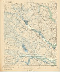
The Ashley River and Stono River define a landscape of deep Lowcountry history, where early settlements and industrial sites appear alongside extensive wetlands like Caw Caw Swamp. The map highlights several notable estates and landmarks, including Middleton Garden, Runnymede, and the site of Old Dorchester, reflecting centuries of development along these tidal waterways. Industrial operations are evidenced by the Bula Mines and Ashley Phosphate, while the Tyler Tea Farm represents a unique agricultural endeavor for the period.
Find a feature on this map
85 named features on this map. Tap any name to fly to it.
Don’t see what you’re looking for? This feature index may not catch every label — zoom into the map to look around manually.
Map Details
Editions of this 1920 Ravenels Map
3 editions found
Other maps of this area

1918 · Cottageville
USGS Topo · 1:62,500

1919 · Ladson
USGS Topo · 1:21,120

1919 · Johns Island
USGS Topo · 1:21,120

1919 · Summerville
USGS Topo · 1:48,000

1919 · Edisto Island
USGS Topo · 1:62,500

1919 · Ridgeville
USGS Topo · 1:48,000

1919 · Wadmelaw Island
USGS Topo · 1:62,500

1919 · Cordesville
USGS Topo · 1:48,000

1919 · Melgrove
USGS Topo · 1:21,120

1919 · Charleston
USGS Topo · 1:21,120