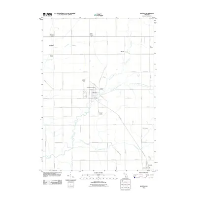
2011 Map of Ravenna
USGS Topo · Published 2011About this map
Crockery Creek and its many tributaries, including the North Branch Crockery Creek, define the drainage and topography of this Muskegon County landscape. The village of Ravenna serves as a central hub, containing the Ravenna Post Office and several local burial sites such as Saint Catherine's Cemetery and Ravenna Cemetery. To the southeast, the settlement of Conklin marks a secondary concentration of development, while smaller hamlets like Moorland and Slocum dot the northern reaches of the sheet.
Find a feature on this map
63 named features on this map. Tap any name to fly to it.
Don’t see what you’re looking for? This feature index may not catch every label — zoom into the map to look around manually.
Map Details
Editions of this 2011 Ravenna Map
This is the sole edition of this map. No revisions or reprints were ever made.
Other maps of this area

1930 · Muskegon
USGS Topo · 1:62,500

1936 · Muskegon
USGS Topo · 1:62,500

1945 · Ravenna
USGS Topo · 1:62,500

1954 · Milwaukee
USGS Topo · 1:250,000

1954 · Midland
USGS Topo · 1:250,000

1958 · Midland
USGS Topo · 1:250,000

1958 · Milwaukee
USGS Topo · 1:250,000

1958 · Twin Lake
USGS Topo · 1:62,500

1958 · Fremont
USGS Topo · 1:62,500

1959 · Midland
USGS Topo · 1:250,000