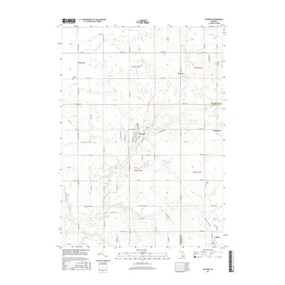
2017 Map of Ravenna
USGS Topo · Published 2017About this map
Crockery Creek and its many tributaries, including the N Br Crockery Cr and Rio Grande Cr, define the drainage and topography of this portion of Muskegon and Ottawa counties. The village of Ravenna serves as a central hub, where the grid of local streets like Main St and Stafford St meets the agricultural surroundings. The landscape is marked by a legacy of rural infrastructure, evidenced by the extensive network of drainage ditches such as Porter Drain, Eastland Drain, and Tidioute Drain, which were essential for managing the low-lying terrain for farming.
Find a feature on this map
80 named features on this map. Tap any name to fly to it.
Don’t see what you’re looking for? This feature index may not catch every label — zoom into the map to look around manually.
Map Details
Editions of this 2017 Ravenna Map
This is the sole edition of this map. No revisions or reprints were ever made.
Other maps of this area

1930 · Muskegon
USGS Topo · 1:62,500

1936 · Muskegon
USGS Topo · 1:62,500

1945 · Ravenna
USGS Topo · 1:62,500

1954 · Milwaukee
USGS Topo · 1:250,000

1954 · Midland
USGS Topo · 1:250,000

1958 · Midland
USGS Topo · 1:250,000

1958 · Milwaukee
USGS Topo · 1:250,000

1958 · Twin Lake
USGS Topo · 1:62,500

1958 · Fremont
USGS Topo · 1:62,500

1959 · Midland
USGS Topo · 1:250,000