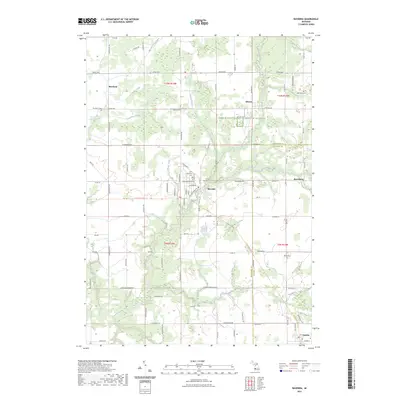
2023 Map of Ravenna
USGS Topo · Published 2023About this map
Ravenna serves as the central hub of this West Michigan landscape, where the meandering course of Crockery Creek and its North Branch define the local geography. The map illustrates a rural transition at the boundary of Muskegon and Ottawa counties, connecting established settlements like Moorland, Slocum, and Harrisburg. For those tracing family histories, several burial grounds are documented, including Saint Catherines Cem, Moorland Cem, and Bell Place Cem.
Find a feature on this map
86 named features on this map. Tap any name to fly to it.
Don’t see what you’re looking for? This feature index may not catch every label — zoom into the map to look around manually.
Map Details
Editions of this 2023 Ravenna Map
This is the sole edition of this map. No revisions or reprints were ever made.
Other maps of this area

1930 · Muskegon
USGS Topo · 1:62,500

1936 · Muskegon
USGS Topo · 1:62,500

1945 · Ravenna
USGS Topo · 1:62,500

1954 · Milwaukee
USGS Topo · 1:250,000

1954 · Midland
USGS Topo · 1:250,000

1958 · Midland
USGS Topo · 1:250,000

1958 · Milwaukee
USGS Topo · 1:250,000

1958 · Twin Lake
USGS Topo · 1:62,500

1958 · Fremont
USGS Topo · 1:62,500

1959 · Midland
USGS Topo · 1:250,000