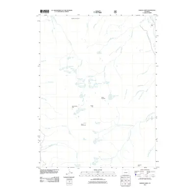
2011 Map of Rawah Lakes
USGS Topo · Published 2011About this map
Rawah Lakes and the high alpine terrain of Larimer County dominate this 2011 survey, centered on a series of glacial lakes tucked beneath peaks like North Rawah Peak and Sheep Mountain. The map illustrates a landscape of high-altitude water management and natural recovery, featuring the Rawah and Lower Supply Ditch which diverts water along the eastern edge of the quadrangle near the Laramie River. To the north, the Big Mc Intyre Burn marks a significant area of ecological change near McIntyre Creek.
Find a feature on this map
54 named features on this map. Tap any name to fly to it.
Don’t see what you’re looking for? This feature index may not catch every label — zoom into the map to look around manually.
Map Details
Editions of this 2011 Rawah Lakes Map
This is the sole edition of this map. No revisions or reprints were ever made.
Other maps of this area

1916 · Home
USGS Topo · 1:125,000

1920 · Home
USGS Topo · 1:125,000

1954 · Greeley
USGS Topo · 1:250,000

1954 · Craig
USGS Topo · 1:250,000

1955 · Gould
USGS Topo · 1:24,000

1955 · Shipman Mountain
USGS Topo · 1:24,000

1955 · Kings Canyon
USGS Topo · 1:62,500

1956 · Johnny Moore Mountain
USGS Topo · 1:24,000
1956 · Gould
USGS Topo · 1:62,500

1957 · Craig
USGS Topo · 1:250,000