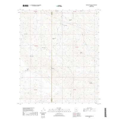
2018 Map of Rawhide Mountain
USGS Topo · Published 2018About this map
Rawhide Mountain dominates this portion of the Arizona landscape along the border of Pinal and Graham counties. The 2018 survey reveals a terrain defined by high peaks like Copper Reef Mountain and Little Stanley Butte, interspersed with a network of seasonal water sources and deep drainage cuts. These springs, including Red Rooster Spring, Musk Hog Spring, and Elderberry Spring, provide critical points of reference in an environment marked by steep elevation changes and complex canyon systems such as Cottonwood Canyon and Willow Spring Canyon.
Find a feature on this map
43 named features on this map. Tap any name to fly to it.
Don’t see what you’re looking for? This feature index may not catch every label — zoom into the map to look around manually.
Map Details
Editions of this 2018 Rawhide Mountain Map
This is the sole edition of this map. No revisions or reprints were ever made.
Other maps of this area

1911 · Winkelman
USGS Topo · 1:125,000

1913 · Winkelman
USGS Topo · 1:125,000

1915 · Christmas
USGS Topo · 1:62,500

1917 · Christmas
USGS Topo · 1:62,500

1938 · Klondyke
USGS Topo · 1:48,000

1943 · Klondyke
USGS Topo · 1:62,500

1949 · Holy Joe Peak
USGS Topo · 1:62,500

1949 · Brandenburg Mtn
USGS Topo · 1:24,000
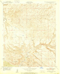
1950 · Brandenburg Mtn
USGS Topo · 1:24,000

1954 · Mesa
USGS Topo · 1:250,000