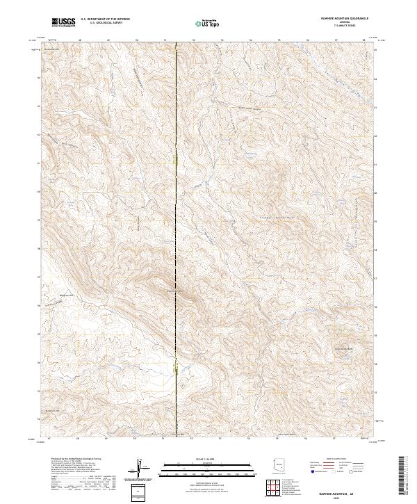
2023 Map of Rawhide Mountain
USGS Topo · Published 2023About this map
The Santa Teresa Mountains dominate this landscape, defined by a complex network of high desert drainage basins and isolated water sources. Named landmarks such as Copper Reef Mtn and Rawhide Mtn rise above the surrounding terrain, providing a look at the topographical challenges that shaped movement through this corner of the Arizona desert. The map reveals a reliance on vital watering points like Old Ranch Spring, Webster Spring, and the Horse Basin Tanks, which were essential for both early ranching operations and travelers navigating the deep cuts of Santa Teresa Canyon and Hawk Canyon. For historians and researchers, these labeled springs and the presence of features like Beargrass Flat indicate the environmental constraints and small-scale human interventions that characterized land use in this arid region.
Find a feature on this map
50 named features on this map. Tap any name to fly to it.
Don’t see what you’re looking for? This feature index may not catch every label — zoom into the map to look around manually.
Map Details
Editions of this 2023 Rawhide Mountain Map
This is the sole edition of this map. No revisions or reprints were ever made.
Other maps of this area

1911 · Winkelman
USGS Topo · 1:125,000

1913 · Winkelman
USGS Topo · 1:125,000

1915 · Christmas
USGS Topo · 1:62,500

1917 · Christmas
USGS Topo · 1:62,500

1938 · Klondyke
USGS Topo · 1:48,000

1943 · Klondyke
USGS Topo · 1:62,500

1949 · Holy Joe Peak
USGS Topo · 1:62,500

1949 · Brandenburg Mtn
USGS Topo · 1:24,000
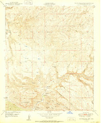
1950 · Brandenburg Mtn
USGS Topo · 1:24,000

1954 · Mesa
USGS Topo · 1:250,000