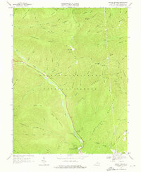
1967 Map of Rawley Springs
USGS Topo · Published 1976About this map
Rawley Springs is situated at the base of the steep ridge systems that define the western edge of Rockingham County. The landscape is dominated by the George Washington National Forest, where the waters of the Dry River meet the Skidmore Fork. This survey captures the region just before significant modernization, documenting the intricate network of fire roads and trails like Dictum Ridge Road and Skidmore Fork Road that navigate the high gaps. Local heritage is grounded in landmarks such as the Riven Rock Picnic Area and the Harrisonburg Reservoir, which reflect the early development of regional water management and recreational infrastructure. Genealogists will find the Oak Grove Cem near Patterson Creek at the map's eastern edge. The topography here is uniquely characterized by named high points like Bald Knob and Clines Hacking, showing the traditional place names used by foresters and early residents of the Appalachian interior.
Find a feature on this map
61 named features on this map. Tap any name to fly to it.
Don’t see what you’re looking for? This feature index may not catch every label — zoom into the map to look around manually.
Map Details
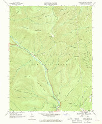
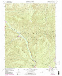
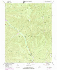
Editions of this 1967 Rawley Springs Map
4 editions found
Other maps of this area

1892 · Franklin
USGS Topo · 1:125,000

1892 · Woodstock
USGS Topo · 1:125,000

1892 · Harrisonburg
USGS Topo · 1:125,000

1894 · Staunton
USGS Topo · 1:125,000

1896 · Franklin
USGS Topo · 1:125,000

1922 · Fort Seybert
USGS Topo · 1:48,000

1924 · Fort Seybert
USGS Topo · 1:62,500

1941 · Harrisonburg
USGS Topo · 1:62,500

1943 · Harrisonburg
USGS Topo · 1:62,500

1944 · Parnassus
USGS Topo · 1:62,500