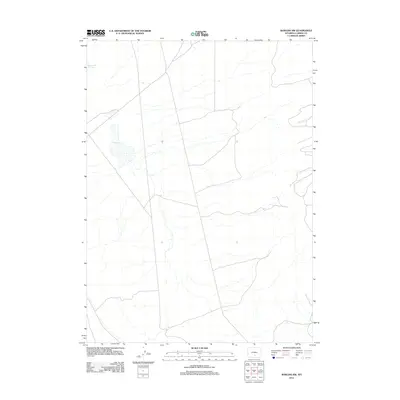
2012 Map of Rawlins NW
USGS Topo · Published 2012About this map
Separation Lake and the intermittent waters of Dry Lake define this high desert basin in central Wyoming during the early 21st century. The landscape is characterized by a network of drainage channels and small watercourses like Little Shoe Cr, which cut through the arid terrain of the Carbon County interior. This 2012 survey by the U.S. Geological Survey captures a sparsely populated region where topographic relief is subtle, dominated by dry lake beds and seasonal hydrology. The map illustrates the specialized infrastructure of the American West, featuring unimproved roads and 4WD tracks that provide the primary access to this remote portion of the high plains, serving as a record of land management and rural transit routes in the Rawlins vicinity.
Find a feature on this map
3 named features on this map. Tap any name to fly to it.
Don’t see what you’re looking for? This feature index may not catch every label — zoom into the map to look around manually.
Map Details
Editions of this 2012 Rawlins NW Map
This is the sole edition of this map. No revisions or reprints were ever made.
Other maps of this area

1953 · Wild Horse Mountain
USGS Topo · 1:24,000

1953 · Sinclair
USGS Topo · 1:24,000

1953 · Riddle Cut
USGS Topo · 1:24,000

1953 · Rawlins
USGS Topo · 1:24,000

1953 · Lone Haystack Mountain
USGS Topo · 1:24,000

1953 · Rawlins NW
USGS Topo · 1:24,000

1954 · Rawlins
USGS Topo · 1:250,000

1955 · Casper
USGS Topo · 1:250,000

1956 · Rawlins Peak
USGS Topo · 1:62,500

1958 · Rawlins
USGS Topo · 1:250,000