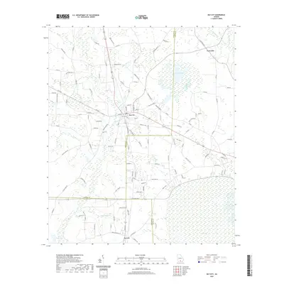
2020 Map of Ray City
USGS Topo · Published 2020About this map
Ray City serves as the central hub of this South Georgia landscape, where the borders of Berrien, Lanier, and Lowndes counties converge. The terrain is defined by a complex network of slow-moving water, including Beaverdam Cr and the expansive Rays Millpond. These water features, alongside Beatty Mill Cr and the marshy basin of Peters Bay, illustrate the traditional importance of milling and timber in the regional economy.
Find a feature on this map
121 named features on this map. Tap any name to fly to it.
Don’t see what you’re looking for? This feature index may not catch every label — zoom into the map to look around manually.
Map Details
Editions of this 2020 Ray City Map
This is the sole edition of this map. No revisions or reprints were ever made.
Other maps of this area

1953 · Waycross
USGS Topo · 1:250,000

1954 · Valdosta
USGS Topo · 1:250,000

1958 · Valdosta
USGS Topo · 1:250,000

1958 · Waycross
USGS Topo · 1:250,000

1959 · Valdosta
USGS Topo · 1:250,000

1961 · Hahira East
USGS Topo · 1:24,000

1968 · Naylor
USGS Topo · 1:24,000

1968 · Lakeland
USGS Topo · 1:24,000
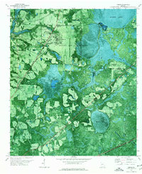
1971 · Bemiss
USGS Topo · 1:24,000

1973 · New Lois
USGS Topo · 1:24,000