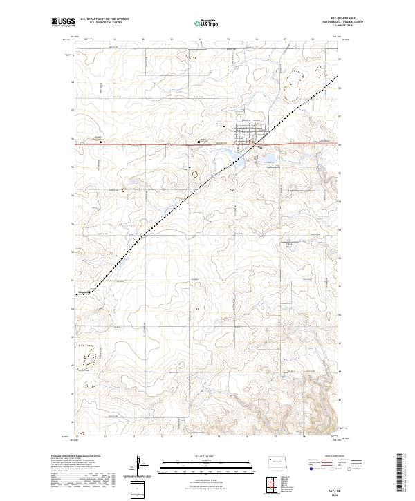
2024 Map of Ray
USGS Topo · Published 2024About this map
Ray stands as the primary hub in this Williams County landscape, situated where the grid of city streets like 7th Ave W meets the open agricultural sections of the high plains. The area is marked by a deep historical connection to early prairie settlement, evidenced by a high density of small burial grounds scattered across the township lines. Genealogists can find the Soine Family Cem and Dunkard Church Cem positioned along the section boundaries, reflecting the localized communities of the early 20th century.
Find a feature on this map
36 named features on this map. Tap any name to fly to it.
Don’t see what you’re looking for? This feature index may not catch every label — zoom into the map to look around manually.
Map Details
Editions of this 2024 Ray Map
This is the sole edition of this map. No revisions or reprints were ever made.
Other maps of this area

1911 · Ray
USGS Topo · 1:125,000

1953 · Williston
USGS Topo · 1:250,000

1957 · Williston
USGS Topo · 1:250,000

1969 · Cussicks Spring
USGS Topo · 1:24,000

1969 · Red Mike Hill
USGS Topo · 1:24,000

1978 · Ray
USGS Topo · 1:24,000

1978 · Ray SE
USGS Topo · 1:24,000

1978 · Temple
USGS Topo · 1:24,000

1978 · Ray NW
USGS Topo · 1:24,000
1978 · Epping NE
USGS Topo · 1:24,000