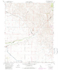
1961 Map of Raynor Creek
USGS Topo · Published 1987About this map
Raynor Ranch and the surrounding ranchlands sit at the intersection of Mariposa, Merced, and Madera counties during the early 1960s. This landscape is defined by its complex water management and seasonal drainages, where the Chowchilla River and Ash Slough are regulated by a series of Diversion Dams. The southern portion of the map showcases the critical infrastructure of the Madera Canal, which cuts through the foothills to support regional agriculture.
Find a feature on this map
33 named features on this map. Tap any name to fly to it.
Don’t see what you’re looking for? This feature index may not catch every label — zoom into the map to look around manually.
Map Details
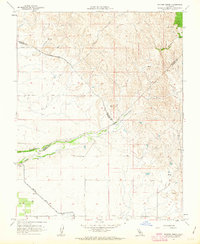
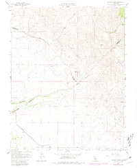
Editions of this 1961 Raynor Creek Map
3 editions found
Other maps of this area

1912 · Mariposa
USGS Topo · 1:125,000

1915 · Owens Creek
USGS Topo · 1:31,680

1916 · Berenda
USGS Topo · 1:31,680

1918 · Owens Creek
USGS Topo · 1:31,680

1918 · Berenda
USGS Topo · 1:31,680

1918 · La Grand
USGS Topo · 1:31,680

1919 · Indian Gulch
USGS Topo · 1:48,000

1919 · Raynor Creek
USGS Topo · 1:31,680

1920 · Indian Gulch
USGS Topo · 1:62,500

1920 · Kismet
USGS Topo · 1:31,680