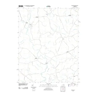
2010 Map of Raynor
USGS Topo · Published 2010About this map
The Blackwater River winds through a dense network of wetlands and agricultural crossroads in Isle of Wight County, forming the central spine of this coastal plain landscape. Rural communities and historic junctions like Sycamore Crossroads, Johnson Corner, and Raynor anchor the interior, connected by a web of local roads such as Dews Plantation Rd and Racetrack Rd. The terrain is characterized by extensive swamp systems, including Rattlesnake Swamp, Pouches Swamp, and Tucker Swamp, which dictate the placement of early settlements and crossings like Proctors Bridge.
Find a feature on this map
57 named features on this map. Tap any name to fly to it.
Don’t see what you’re looking for? This feature index may not catch every label — zoom into the map to look around manually.
Map Details
Editions of this 2010 Raynor Map
This is the sole edition of this map. No revisions or reprints were ever made.
Other maps of this area

1907 · Yorktown
USGS Topo · 1:62,500

1919 · Smithfield
USGS Topo · 1:62,500

1919 · Surry
USGS Topo · 1:62,500

1920 · Ivor
USGS Topo · 1:62,500

1943 · Yorktown
USGS Topo · 1:62,500

1943 · Richmond
USGS Topo · 1:250,000

1944 · Windsor
USGS Topo · 1:31,680

1944 · Ivor
USGS Topo · 1:24,000

1944 · Smithfield
USGS Topo · 1:24,000

1944 · Sedley
USGS Topo · 1:24,000