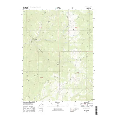
2017 Map of Rays Valley
USGS Topo · Published 2017About this map
The Uinta National Forest dominates this section of the Wasatch Range, where a series of numeric ridges and creeks define the drainage patterns of the high country. Beginning with First Water Ridge in the southeast and ascending through to Fifth Water Ridge in the north, the landscape is carved by seasonal tributaries like Third Water Creek and Sixth Water Cr. At Three Forks, the confluence of Cottonwood Canyon and Diamond Fork provides a focal point for the local topography, which rises toward peaks such as Red Mtn and Teat Mtn. The map highlights a network of remote access routes, including Rays Valley Rd and Sheep Creek Rd, illustrating the forest management and recreation infrastructure within Rays Valley. Natural springs like First Water Spring and Mogbeck Spring underscore the hydrological importance of this montane environment.
Find a feature on this map
45 named features on this map. Tap any name to fly to it.
Don’t see what you’re looking for? This feature index may not catch every label — zoom into the map to look around manually.
Map Details
Editions of this 2017 Rays Valley Map
This is the sole edition of this map. No revisions or reprints were ever made.
Other maps of this area

1885 · Salt Lake
USGS Topo · 1:250,000

1885 · Manti
USGS Topo · 1:250,000

1895 · Manti
USGS Topo · 1:250,000

1907 · Strawberry Valley
USGS Topo · 1:125,000

1909 · Strawberry Valley
USGS Topo · 1:125,000

1939 · Soldier Summit
USGS Topo · 1:62,500

1942 · Soldier Summit
USGS Topo · 1:62,500

1954 · Salt Lake City
USGS Topo · 1:250,000

1956 · Price
USGS Topo · 1:250,000

1958 · Salt Lake City
USGS Topo · 1:250,000