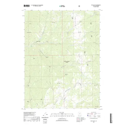
2020 Map of Rays Valley
USGS Topo · Published 2020About this map
Uinta National Forest lands dominate this high-country landscape, where complex drainage systems like Fifth Water Cr and Sixth Water Cr converge at the landmark known as Three Forks. The terrain is defined by a series of parallel ridges and valleys, including Rays Valley, Tanner Ridge, and Miller Ridge, which illustrate the classic corrugated topography of the Wasatch Range.
Find a feature on this map
40 named features on this map. Tap any name to fly to it.
Don’t see what you’re looking for? This feature index may not catch every label — zoom into the map to look around manually.
Map Details
Editions of this 2020 Rays Valley Map
This is the sole edition of this map. No revisions or reprints were ever made.
Other maps of this area

1885 · Salt Lake
USGS Topo · 1:250,000

1885 · Manti
USGS Topo · 1:250,000

1895 · Manti
USGS Topo · 1:250,000

1907 · Strawberry Valley
USGS Topo · 1:125,000

1909 · Strawberry Valley
USGS Topo · 1:125,000

1939 · Soldier Summit
USGS Topo · 1:62,500

1942 · Soldier Summit
USGS Topo · 1:62,500

1954 · Salt Lake City
USGS Topo · 1:250,000

1956 · Price
USGS Topo · 1:250,000

1958 · Salt Lake City
USGS Topo · 1:250,000