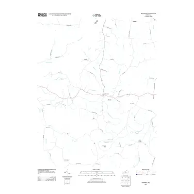
2013 Map of Raywick
USGS Topo · Published 2013About this map
Rolling Fork carves a winding path through this central Kentucky landscape, defining the rural character of the region. The small community of Raywick sits at a central crossroads, while Loretto and Saint Joseph anchor the northern and eastern portions of the map. This area is characterized by family-named roads and topographic markers like Flag Knob and Bald Knob, suggesting a long-standing agricultural and local heritage. Genealogists will find interest in the documented burial grounds, including Saint Francis Xavier Cem and Sutton Cem. The drainage patterns of Sulphur Lick Cr, Prather Cr, and Dry Fork reveal the intricate hydrology that shaped the early settlement and road networks, such as Sally Ray Pike and Homestead Valley Rd, which follow the contours of the knobs and ridges.
Find a feature on this map
67 named features on this map. Tap any name to fly to it.
Don’t see what you’re looking for? This feature index may not catch every label — zoom into the map to look around manually.
Map Details
Editions of this 2013 Raywick Map
This is the sole edition of this map. No revisions or reprints were ever made.
Other maps of this area

1953 · Howardstown
USGS Topo · 1:24,000

1953 · Loretto
USGS Topo · 1:24,000

1953 · Saloma
USGS Topo · 1:24,000

1953 · Hibernia
USGS Topo · 1:24,000

1953 · Saint Catharine
USGS Topo · 1:24,000

1953 · New Haven
USGS Topo · 1:24,000

1953 · Raywick
USGS Topo · 1:24,000

1953 · Spurlington
USGS Topo · 1:24,000

1953 · Lebanon West
USGS Topo · 1:24,000

1957 · Winchester
USGS Topo · 1:250,000