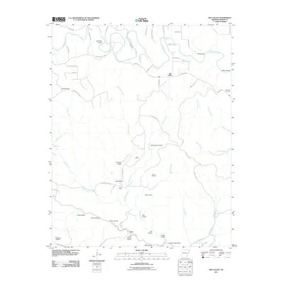
2011 Map of Rea Valley
USGS Topo · Published 2011About this map
Crooked Creek meanders through the northern hills of Marion County, where the community of Rea Valley serves as a local crossroads. The landscape is defined by its deep drainages and named hollows, including John Treat Hollow and George Treat Hollow, which suggest generations of family land use. To the south, the settlement of Rush sits near the Buffalo River, where the terrain steepens toward Poison Point and the Clabber Creek Shoal. This 2011 survey documents a rural Arkansas topography where small cemeteries like Hand Valley Cemetery and Ott Cemetery are preserved alongside country churches like Wares Chapel. The network of county roads, such as Marion County 6012 near Hall Mountain, provides the primary access through this dissected plateau, connecting the scattered homesteads and valley settlements that characterize the region's 21st-century rural character.
Find a feature on this map
67 named features on this map. Tap any name to fly to it.
Don’t see what you’re looking for? This feature index may not catch every label — zoom into the map to look around manually.
Map Details
Editions of this 2011 Rea Valley Map
This is the sole edition of this map. No revisions or reprints were ever made.
Other maps of this area

1890 · Mountain Home
USGS Topo · 1:125,000

1891 · Mountain Home
USGS Topo · 1:125,000

1893 · Yellville
USGS Topo · 1:125,000

1894 · Mountain Home
USGS Topo · 1:125,000

1903 · Yellville
USGS Topo · 1:125,000

1905 · Yellville
USGS Topo · 1:125,000

1929 · Yellville
USGS Topo · 1:125,000

1945 · Harrison
USGS Topo · 1:250,000

1949 · Harrison
USGS Topo · 1:250,000

1954 · Harrison
USGS Topo · 1:250,000