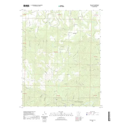
2020 Map of Rea Valley
USGS Topo · Published 2020About this map
Rea Valley and the historic settlement of Rush anchor this section of Marion County, where the Ozark landscape is defined by the winding course of the Buffalo National River. The map reveals a deeply dissected terrain of family-named heights and hollows, such as Hand Mtn, Hoodlum Ridge, and Poison Point. These landmarks overlook a complex drainage system including Crooked Creek to the north and the confluence of Rush Cr and Clabber Cr further south. Genealogists and local historians can locate several rural burial grounds, including Hand Valley Cem, Ott Cem, and Williams Cem, which sit atop the ridges or along the creek beds. The road network, largely composed of Marion County routes like Marion Co 6077, follows the natural contours of the land, connecting isolated hollows like Campbell Hollow and John Treat Hollow to the river valley floor.
Find a feature on this map
106 named features on this map. Tap any name to fly to it.
Don’t see what you’re looking for? This feature index may not catch every label — zoom into the map to look around manually.
Map Details
Editions of this 2020 Rea Valley Map
This is the sole edition of this map. No revisions or reprints were ever made.
Other maps of this area

1890 · Mountain Home
USGS Topo · 1:125,000

1891 · Mountain Home
USGS Topo · 1:125,000

1893 · Yellville
USGS Topo · 1:125,000

1894 · Mountain Home
USGS Topo · 1:125,000

1903 · Yellville
USGS Topo · 1:125,000

1905 · Yellville
USGS Topo · 1:125,000

1929 · Yellville
USGS Topo · 1:125,000

1945 · Harrison
USGS Topo · 1:250,000

1949 · Harrison
USGS Topo · 1:250,000

1954 · Harrison
USGS Topo · 1:250,000