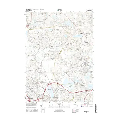
2015 Map of Reading
USGS Topo · Published 2015About this map
Lake Quannapowitt and the headwaters of the Saugus River define the southern landscape of this 2015 study, illustrating the dense suburban character of the North Shore. The map documents the intricate boundary between Middlesex and Essex counties, winding through residential pockets like Montrose and Reading Highlands. A significant concentration of commemorative and historical sites is visible, including the expansive Puritan Lawn Memorial Park and several smaller grounds such as Forest Glade Cem and the Flint Burying Ground.
Find a feature on this map
309 named features on this map. Tap any name to fly to it.
Don’t see what you’re looking for? This feature index may not catch every label — zoom into the map to look around manually.
Map Details
Editions of this 2015 Reading Map
This is the sole edition of this map. No revisions or reprints were ever made.
Other maps of this area

1886 · Lawrence
USGS Topo · 1:62,500

1888 · Lawrence
USGS Topo · 1:62,500

1888 · Salem
USGS Topo · 1:62,500

1892 · Boston Bay
USGS Topo · 1:62,500

1893 · Salem
USGS Topo · 1:62,500

1893 · Boston
USGS Topo · 1:62,500

1893 · Lawrence
USGS Topo · 1:62,500

1903 · Boston
USGS Topo · 1:62,500

1903 · Boston Bay
USGS Topo · 1:62,500

1917 · Salem
USGS Topo · 1:62,500