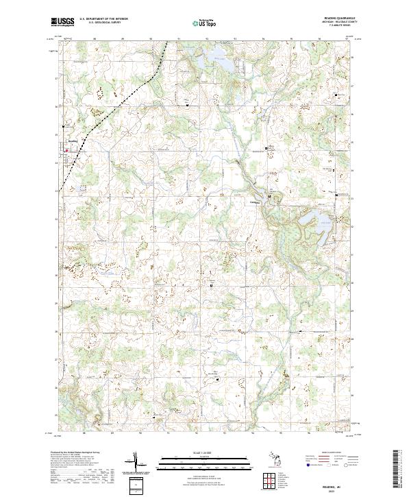
2023 Map of Reading
USGS Topo · Published 2023About this map
The East Fork West Branch Saint Joseph River and the West Fork West Branch Saint Joseph River converge in this corner of Hillsdale County, defining a landscape of glacial lakes and intricate drainage systems. The village of Reading and the community of Cambria anchor the region, which is marked by a high density of small family and community burial grounds reflecting generations of rural settlement. Researchers will find numerous sites of genealogical interest, from the Old Cambria Cem and Old Sebring Cem to the Amish Cem and the West Woodbridge Cem. The terrain is shaped by several named water bodies including Bear Lake, Broom Lake, and Cub Lake, all integrated into an extensive network of managed waterways such as the Jonas Brown Drain and Meade Drain.
Find a feature on this map
64 named features on this map. Tap any name to fly to it.
Don’t see what you’re looking for? This feature index may not catch every label — zoom into the map to look around manually.
Map Details
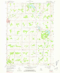
Editions of this 2023 Reading Map
This is the sole edition of this map. No revisions or reprints were ever made.
Historical Maps of Camden Through Time
Featured Locations
- Reading, MI
- Reading Township, MI
- Woodbridge Township, MI
- Camden, Camden Township
- Cambria, Cambria Township