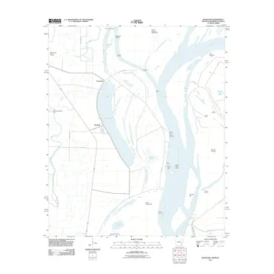
2011 Map of Readland
USGS Topo · Published 2011About this map
The Mississippi River dominates this landscape, its shifting course evidenced by the broad arc of Grand Lake and the engineering of the Grand Lake Cutoff. Along the riverbanks, a network of river-based commerce and navigation is visible through numerous landings, including Carriola Landing, Coal Landing, and Carolina Landing. These sites, along with features like the Cracraft Dikes and Cracraft Revetment, show the ongoing efforts to manage the river's path and protect the surrounding Chicot County terrain.
Find a feature on this map
44 named features on this map. Tap any name to fly to it.
Don’t see what you’re looking for? This feature index may not catch every label — zoom into the map to look around manually.
Map Details
Editions of this 2011 Readland Map
This is the sole edition of this map. No revisions or reprints were ever made.
Other maps of this area

1909 · Wilsons Point
USGS Topo · 1:24,000

1909 · Millikin
USGS Topo · 1:24,000

1909 · Ashton Bridge
USGS Topo · 1:24,000

1912 · Ashton Bridge
USGS Topo · 1:31,680

1913 · Wilson Point
USGS Topo · 1:31,680

1935 · Oak Grove
USGS Topo · 1:62,500

1936 · Eudora
USGS Topo · 1:62,500

1939 · Readland
USGS Topo · 1:62,500

1939 · Mayersville
USGS Topo · 1:62,500

1953 · Greenwood
USGS Topo · 1:250,000