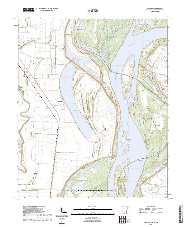
2024 Map of Readland
USGS Topo · Published 2024About this map
Grand Lake dominates the western portion of this quadrangle, an expansive oxbow water body that mirrors the winding path of the Mississippi River to the east. Situated at the junction of Arkansas, Louisiana, and Mississippi, the area around Readland is defined by its complex hydrologic history and the massive levee systems that protect the delta's low-lying land. The map illustrates a landscape shaped by significant river engineering, including the Worthington Cutoff and Grand Lake Cutoff, which have permanently altered the flow and sediment patterns of the river.
Find a feature on this map
43 named features on this map. Tap any name to fly to it.
Don’t see what you’re looking for? This feature index may not catch every label — zoom into the map to look around manually.
Map Details
Editions of this 2024 Readland Map
This is the sole edition of this map. No revisions or reprints were ever made.
Other maps of this area

1909 · Wilsons Point
USGS Topo · 1:24,000

1909 · Millikin
USGS Topo · 1:24,000

1909 · Ashton Bridge
USGS Topo · 1:24,000

1912 · Ashton Bridge
USGS Topo · 1:31,680

1913 · Wilson Point
USGS Topo · 1:31,680

1935 · Oak Grove
USGS Topo · 1:62,500

1936 · Eudora
USGS Topo · 1:62,500

1939 · Readland
USGS Topo · 1:62,500

1939 · Mayersville
USGS Topo · 1:62,500

1953 · Greenwood
USGS Topo · 1:250,000