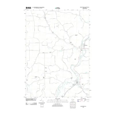
2010 Map of Readstown
USGS Topo · Published 2010About this map
The Kickapoo River meanders through this portion of the Driftless Area, anchoring a landscape defined by sharp elevation changes and deep valleys. The riverside villages of Readstown and Soldiers Grove serve as the primary population centers, connected by a network of rural roads that trace the winding watercourse and climb the surrounding heights. Distinctive landforms such as Eagle Rock, Briggs Point, and Pine Knob rise above the river valley, while the aptly named Black Bottom lies just south of the Readstown settlement.
Find a feature on this map
72 named features on this map. Tap any name to fly to it.
Don’t see what you’re looking for? This feature index may not catch every label — zoom into the map to look around manually.
Map Details
Editions of this 2010 Readstown Map
This is the sole edition of this map. No revisions or reprints were ever made.
Other maps of this area

1923 · Viroqua
USGS Topo · 1:62,500

1924 · Gays Mills
USGS Topo · 1:62,500

1926 · Gays Mills
USGS Topo · 1:62,500

1926 · Viroqua
USGS Topo · 1:62,500

1926 · La Farge
USGS Topo · 1:62,500

1933 · Boaz
USGS Topo · 1:62,500

1958 · La Crosse
USGS Topo · 1:250,000

1961 · La Crosse
USGS Topo · 1:250,000

1965 · La Crosse
USGS Topo · 1:250,000

1965 · La Farge
USGS Topo · 1:62,500