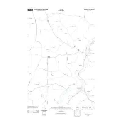
2013 Map of Readstown
USGS Topo · Published 2013About this map
Soldiers Grove and Readstown anchor this topographic study of the Driftless Area, where the Kickapoo River carves a winding path through deep southwestern Wisconsin valleys. The landscape is defined by its dramatic relief, from the low-lying Black Bottom and Johnson Valley to the prominent heights of Eagle Rock and Flannagan Ridge. A network of ridge-top and valley-bottom roads, such as Halverson Ridge Rd and Day Creek Rd, connects small settlements like Folsom and Pine Knob. Numerous cold-water tributaries, including Sherry Creek and Reads Creek, feed into the main river system, illustrating the complex hydrology of the region. This 2013 survey provides a contemporary view of these river towns and the surrounding agricultural uplands before any further modern development altered the classic rural character of Crawford and Vernon Counties.
Find a feature on this map
79 named features on this map. Tap any name to fly to it.
Don’t see what you’re looking for? This feature index may not catch every label — zoom into the map to look around manually.
Map Details
Editions of this 2013 Readstown Map
This is the sole edition of this map. No revisions or reprints were ever made.
Other maps of this area

1923 · Viroqua
USGS Topo · 1:62,500

1924 · Gays Mills
USGS Topo · 1:62,500

1926 · Gays Mills
USGS Topo · 1:62,500

1926 · Viroqua
USGS Topo · 1:62,500

1926 · La Farge
USGS Topo · 1:62,500

1933 · Boaz
USGS Topo · 1:62,500

1958 · La Crosse
USGS Topo · 1:250,000

1961 · La Crosse
USGS Topo · 1:250,000

1965 · La Crosse
USGS Topo · 1:250,000

1965 · La Farge
USGS Topo · 1:62,500