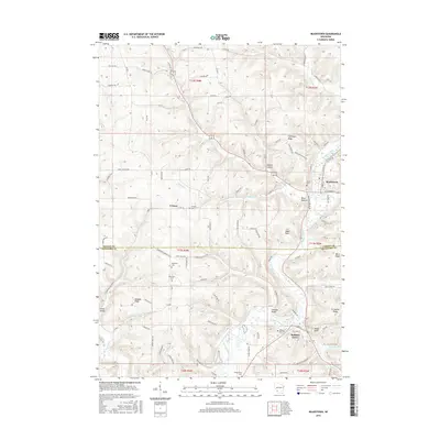
2016 Map of Readstown
USGS Topo · Published 2016About this map
Kickapoo River carves a deep path through the driftless region of Wisconsin, anchoring the settlements of Readstown and Soldiers Grove. This 2016 survey illustrates the intricate relationship between the winding river valley and the high ridges that define local travel, such as Flannagan Ridge and Ward Ridge. The landscape is etched with the heritage of early settlers, evident in the numerous family and community burial grounds including Kickapoo Cem, Hooveron Cem, and Fortney Cem. Named valleys like Jones Valley and Johnson Valley flank the river, while prominent landmarks such as Eagle Rock and the low-lying Black Bottom provide distinct geographical reference points. The road network, featuring routes like Norwegian Hollow Rd and Norske Rd, reflects the cultural fingerprints of the immigrant communities that established these rural townships.
Find a feature on this map
62 named features on this map. Tap any name to fly to it.
Don’t see what you’re looking for? This feature index may not catch every label — zoom into the map to look around manually.
Map Details
Editions of this 2016 Readstown Map
This is the sole edition of this map. No revisions or reprints were ever made.
Other maps of this area

1923 · Viroqua
USGS Topo · 1:62,500

1924 · Gays Mills
USGS Topo · 1:62,500

1926 · Gays Mills
USGS Topo · 1:62,500

1926 · Viroqua
USGS Topo · 1:62,500

1926 · La Farge
USGS Topo · 1:62,500

1933 · Boaz
USGS Topo · 1:62,500

1958 · La Crosse
USGS Topo · 1:250,000

1961 · La Crosse
USGS Topo · 1:250,000

1965 · La Crosse
USGS Topo · 1:250,000

1965 · La Farge
USGS Topo · 1:62,500