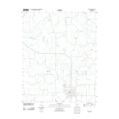
2011 Map of Rector
USGS Topo · Published 2011About this map
Rector serves as the central hub of this agricultural landscape in Clay County, Arkansas, where the grid of city streets like Greenville St and W Allen Dr meets a vast network of rural county roads. The area is defined by a series of north-south flowing waterways including Post Oak Creek, White Walnut Creek, and Vancel Creek, which drain the surrounding farmland. Small outlying settlements like Pratt and specialized infrastructure such as the Rector Airport highlight the local transportation and economic patterns of the early 21st century.
Find a feature on this map
70 named features on this map. Tap any name to fly to it.
Don’t see what you’re looking for? This feature index may not catch every label — zoom into the map to look around manually.
Map Details
Editions of this 2011 Rector Map
This is the sole edition of this map. No revisions or reprints were ever made.
Other maps of this area

1934 · Kennett
USGS Topo · 1:62,500

1935 · Rector
USGS Topo · 1:62,500

1940 · Marmaduke
USGS Topo · 1:62,500

1940 · Kennett
USGS Topo · 1:62,500

1940 · Piggott
USGS Topo · 1:62,500

1956 · Kennett
USGS Topo · 1:62,500

1956 · Piggott
USGS Topo · 1:62,500

1957 · Poplar Bluff
USGS Topo · 1:250,000

1958 · Marmaduke
USGS Topo · 1:62,500

1958 · Rector
USGS Topo · 1:62,500