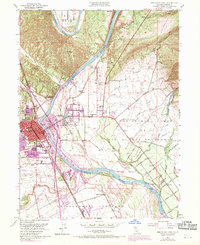
1951 Map of Red Bluff East
USGS Topo · Published 1970About this map
The Sacramento River carves a dominant path through this portion of Tehama County, its banks marked by the historic William B Ide Adobe State Historical Mon and the intricate network of Sand Slough and Samson Slough. On the western bank, the city of Red Bluff serves as a regional hub, with its urban footprint containing the Oak Hill Cem, Lincoln Sch, and the Red Bluff Municipal Airport to the south. The surrounding landscape is defined by large land grants like Rio De Los Berrendos and El Primer Canon, indicating a history of extensive ranching and agriculture.
Find a feature on this map
49 named features on this map. Tap any name to fly to it.
Don’t see what you’re looking for? This feature index may not catch every label — zoom into the map to look around manually.
Map Details
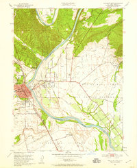
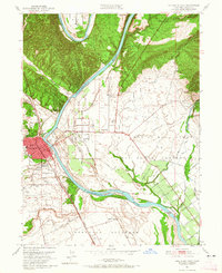
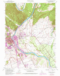
Editions of this 1951 Red Bluff East Map
5 editions found
Other maps of this area

1890 · Red Bluff
USGS Topo · 1:250,000

1894 · Red Bluff
USGS Topo · 1:250,000

1905 · Tehama
USGS Topo · 1:62,500

1944 · Tuscan Buttes
USGS Topo · 1:62,500

1947 · Tuscan Buttes
USGS Topo · 1:62,500

1947 · Anderson
USGS Topo · 1:62,500

1948 · Anderson
USGS Topo · 1:62,500

1950 · Gerber
USGS Topo · 1:24,000

1951 · Gerber
USGS Topo · 1:24,000

1951 · Red Bluff East
USGS Topo · 1:24,000