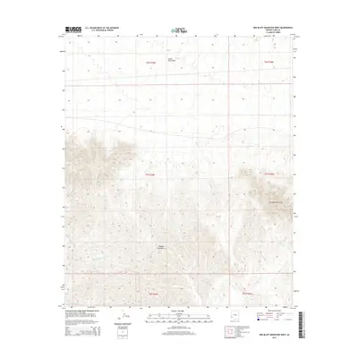
2014 Map of Red Bluff Mountain West
USGS Topo · Published 2014About this map
Red Bluff Mountain stands as a prominent elevation within this arid Yuma County landscape, anchoring the eastern reach of the Muggins Mountains. This 2014 survey documents a rugged desert environment defined by sharp topographic relief and extensive drainage networks. The northern portion of the map is dominated by the relatively level expanse of the Castle Dome Plain, which gives way to the complex ridge systems of the southern mountains.
Find a feature on this map
11 named features on this map. Tap any name to fly to it.
Don’t see what you’re looking for? This feature index may not catch every label — zoom into the map to look around manually.
Map Details
Editions of this 2014 Red Bluff Mountain West Map
This is the sole edition of this map. No revisions or reprints were ever made.
Other maps of this area

1926 · Fortuna
USGS Topo · 1:62,500

1926 · Wellton
USGS Topo · 1:62,500

1929 · Fortuna
USGS Topo · 1:62,500

1929 · Laguna
USGS Topo · 1:62,500

1929 · Wellton
USGS Topo · 1:62,500

1942 · Yuma
USGS Topo · 1:250,000

1943 · Laguna
USGS Topo · 1:62,500

1954 · El Centro
USGS Topo · 1:250,000

1955 · El Centro
USGS Topo · 1:250,000
1955 · Dome
USGS Topo · 1:24,000