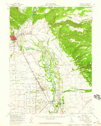
1952 Map of Red Bluff
USGS Topo · Published 1959About this map
Sacramento River flows through the heart of Tehama County, anchoring a landscape of extensive agricultural grants and railroad-aligned settlements. In the early 1950s, the river corridor was defined by significant water management and transport infrastructure, including Blackberry Island and Todd Island, alongside the vital Southern Pacific rail line. The map illustrates the historical land divisions of the La Barranca Colorada, Las Flores, and Saucos grants, reflecting the area's deep-rooted ranching and farming heritage.
Find a feature on this map
82 named features on this map. Tap any name to fly to it.
Don’t see what you’re looking for? This feature index may not catch every label — zoom into the map to look around manually.
Map Details
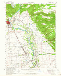
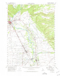
Editions of this 1952 Red Bluff Map
3 editions found
Other maps of this area

1886 · Lassen Peak
USGS Topo · 1:250,000

1890 · Red Bluff
USGS Topo · 1:250,000

1891 · Chico
USGS Topo · 1:125,000

1892 · Lassen Peak
USGS Topo · 1:250,000

1893 · Chico
USGS Topo · 1:125,000

1894 · Lassen Peak
USGS Topo · 1:250,000

1894 · Red Bluff
USGS Topo · 1:250,000

1895 · Chico
USGS Topo · 1:125,000

1904 · Vina
USGS Topo · 1:62,500

1905 · Tehama
USGS Topo · 1:62,500