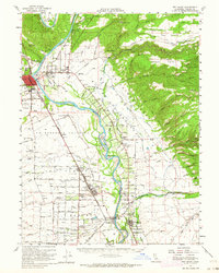
1952 Map of Red Bluff
USGS Topo · Published 1964About this map
The Sacramento River meanders through this mid-century landscape, anchoring a network of agriculture and transport in northern California. Along its western banks, the Southern Pacific railroad and the Pacific Highway parallel the water, connecting the county seat of Red Bluff to smaller rail stops and settlements like Gerber and Tehama. The map reveals a highly developed irrigation system, with numerous instances of Ditch and Flume labels feeding the orchards and fields of the La Barranca Colorada and Abraham Plains.
Find a feature on this map
87 named features on this map. Tap any name to fly to it.
Don’t see what you’re looking for? This feature index may not catch every label — zoom into the map to look around manually.
Map Details
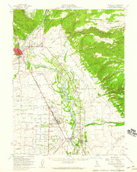
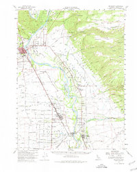
Editions of this 1952 Red Bluff Map
3 editions found
Other maps of this area

1886 · Lassen Peak
USGS Topo · 1:250,000

1890 · Red Bluff
USGS Topo · 1:250,000

1891 · Chico
USGS Topo · 1:125,000

1892 · Lassen Peak
USGS Topo · 1:250,000

1893 · Chico
USGS Topo · 1:125,000

1894 · Lassen Peak
USGS Topo · 1:250,000

1894 · Red Bluff
USGS Topo · 1:250,000

1895 · Chico
USGS Topo · 1:125,000

1904 · Vina
USGS Topo · 1:62,500

1905 · Tehama
USGS Topo · 1:62,500