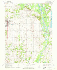
1970 Map of Red Bud
USGS Topo · Published 1972About this map
Red Bud serves as the primary hub in this Illinois landscape, situated at the junction of several regional routes and the Gulf Mobile and Ohio railroad. To the south, the village of Ruma and the small settlement of Prairie anchor the agricultural expanse of Horse Prairie, a region defined by its productive farm plots and winding creeks. The eastern edge of the map is dominated by the Kaskaskia River, where significant engineering is visible near a reservoir marked as under construction. This riverine corridor is a complex of wetlands and backwaters, including Round Pond and Schaffner Lake. Local genealogy is well-represented through family and community landmarks such as Brickley Cem, Ralls Cem, and St John Cem, alongside educational centers like Trinity Sch and the Voges Landing Strip, illustrating the rural infrastructure of the 1970s.
Find a feature on this map
32 named features on this map. Tap any name to fly to it.
Don’t see what you’re looking for? This feature index may not catch every label — zoom into the map to look around manually.
Map Details
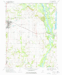
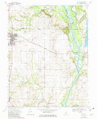
Editions of this 1970 Red Bud Map
3 editions found
Other maps of this area

1910 · Waterloo
USGS Topo · 1:62,500

1912 · New Athens
USGS Topo · 1:62,500

1912 · Baldwin
USGS Topo · 1:62,500

1913 · Waterloo
USGS Topo · 1:62,500

1914 · Baldwin
USGS Topo · 1:62,500

1915 · Renault
USGS Topo · 1:62,500

1940 · Renault
USGS Topo · 1:62,500

1942 · Baldwin
USGS Topo · 1:62,500

1949 · Saint Louis
USGS Topo · 1:250,000

1954 · New Athens West
USGS Topo · 1:24,000