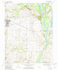
1970 Map of Red Bud
USGS Topo · Published 1982About this map
The town of Red Bud serves as the primary hub on this southwestern Illinois landscape, where the confluence of several county lines—Monroe, Randolph, and St. Clair—meets a diverse geography of water and rail. The Kaskaskia River snakes along the eastern boundary, flanked by the Kaskaskia River State Fish and Wildlife Area, while the Illinois Central Gulf railroad cuts a diagonal path southeast toward the settlement of Grigg. This 1970s view (with 1982 revisions) captures the area's agricultural roots in the flat expanses of Horse Prairie and traces the smaller watercourses like Richland Creek, Black Creek, and Horse Creek. Genealogy and local history are well-represented by several family-named burial grounds, including Brickey Cem, Wicklein Cem, and Ralls Cem, alongside institutions like Trinity Sch and the southern village of Ruma.
Find a feature on this map
31 named features on this map. Tap any name to fly to it.
Don’t see what you’re looking for? This feature index may not catch every label — zoom into the map to look around manually.
Map Details
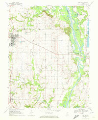
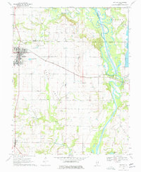
Editions of this 1970 Red Bud Map
3 editions found
Other maps of this area

1910 · Waterloo
USGS Topo · 1:62,500

1912 · New Athens
USGS Topo · 1:62,500

1912 · Baldwin
USGS Topo · 1:62,500

1913 · Waterloo
USGS Topo · 1:62,500

1914 · Baldwin
USGS Topo · 1:62,500

1915 · Renault
USGS Topo · 1:62,500

1940 · Renault
USGS Topo · 1:62,500

1942 · Baldwin
USGS Topo · 1:62,500

1949 · Saint Louis
USGS Topo · 1:250,000

1954 · New Athens West
USGS Topo · 1:24,000