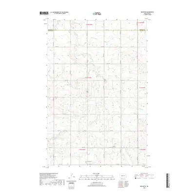
2018 Map of Red Butte
USGS Topo · Published 2018About this map
Red Butte rises as a prominent landmark above the section lines of the North Dakota prairie, marking a high point in a landscape defined by traditional rural boundaries. Located along the border of Mercer and Oliver Counties, this area reflects the structured settlement patterns of the American West, where gravel roads like Co RD 27 and Co RD 24 follow the rigid township and range grid. This 2018 survey reveals the quiet permanence of early community life through its distribution of small burial grounds, including the Schmall Congregational Cemetery and Spring Brook Cemetery. The drainage of Brady Creek and Otter Creek provides the only break in the high-plains topography, which remains primarily agricultural and sparsely populated, anchored by family-named landmarks like the Nisbet Cemetery and Red Butte Cemetery.
Find a feature on this map
31 named features on this map. Tap any name to fly to it.
Don’t see what you’re looking for? This feature index may not catch every label — zoom into the map to look around manually.
Map Details
Editions of this 2018 Red Butte Map
This is the sole edition of this map. No revisions or reprints were ever made.
Other maps of this area

1948 · Stanton
USGS Topo · 1:62,500

1949 · Stanton
USGS Topo · 1:62,500

1954 · McClusky
USGS Topo · 1:250,000

1958 · McClusky
USGS Topo · 1:250,000

1968 · Red Butte
USGS Topo · 1:24,000

1968 · Red Butte NW
USGS Topo · 1:24,000

1968 · Hazen West
USGS Topo · 1:24,000

1968 · Stanton
USGS Topo · 1:24,000

1968 · Hannover NW
USGS Topo · 1:24,000

1968 · Hazen East
USGS Topo · 1:24,000