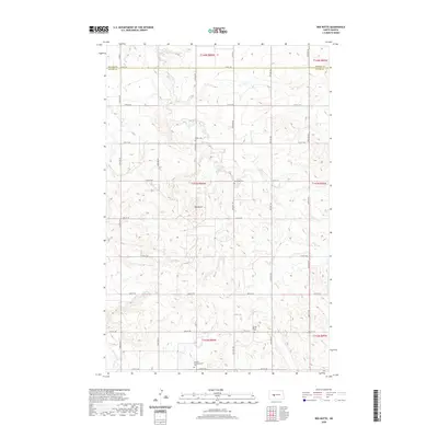
2020 Map of Red Butte
USGS Topo · Published 2020About this map
This North Dakota landscape, situated along the border of Mercer and Oliver counties, is defined by the headwaters of Brady Cr. The terrain is marked by the distinct upland landforms of the Missouri Plateau, where the drainage patterns of small seasonal creeks have carved a series of draws and ridges across the prairie. While the region remains primarily dedicated to large-scale agriculture and ranching, the map reveals the sparse network of section-line roads and rural corridors that connect the isolated farmsteads and open pastures of this Great Plains environment.
Find a feature on this map
1 named feature on this map. Tap any name to fly to it.
Don’t see what you’re looking for? This feature index may not catch every label — zoom into the map to look around manually.
Map Details
Editions of this 2020 Red Butte Map
This is the sole edition of this map. No revisions or reprints were ever made.
Other maps of this area

1948 · Stanton
USGS Topo · 1:62,500

1949 · Stanton
USGS Topo · 1:62,500

1954 · McClusky
USGS Topo · 1:250,000

1958 · McClusky
USGS Topo · 1:250,000

1968 · Red Butte
USGS Topo · 1:24,000

1968 · Red Butte NW
USGS Topo · 1:24,000

1968 · Hazen West
USGS Topo · 1:24,000

1968 · Stanton
USGS Topo · 1:24,000

1968 · Hannover NW
USGS Topo · 1:24,000

1968 · Hazen East
USGS Topo · 1:24,000