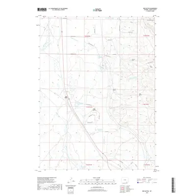
2018 Map of Red Buttes
USGS Topo · Published 2018About this map
Red Buttes and the geological formation of The Buttes dominate this high-plains landscape in Albany County, Wyoming. The terrain is characterized by a series of significant drainage systems and water storage sites, including Harney Creek, Willow Creek, and Spring Creek, which feed into various man-made catchments like Harney Creek Reservoir and Hundred Springs Reservoir. The map reveals a sparse but established road network serving ranching and residential interests, with names like Simpson Springs Road, Gilmore Gulch Road, and Vista Grande Way branching off from the primary corridor of Route 287. The eastern portion of the sheet features more complex topography, including Sawmill Canyon and Government Gulch, indicating the transition into more broken country away from the creek valleys.
Find a feature on this map
45 named features on this map. Tap any name to fly to it.
Don’t see what you’re looking for? This feature index may not catch every label — zoom into the map to look around manually.
Map Details
Editions of this 2018 Red Buttes Map
This is the sole edition of this map. No revisions or reprints were ever made.
Other maps of this area

1895 · Laramie
USGS Topo · 1:125,000

1902 · Laramie
USGS Topo · 1:125,000

1905 · Sherman
USGS Topo · 1:125,000

1905 · Laramie
USGS Topo · 1:125,000

1906 · Laramie
USGS Topo · 1:125,000

1908 · Laramie
USGS Topo · 1:125,000

1948 · Sherman Mountains
USGS Topo · 1:62,500

1948 · Ragged Top Mountain
USGS Topo · 1:62,500

1950 · Ragged Top Mountain
USGS Topo · 1:62,500

1950 · Sherman Mountains
USGS Topo · 1:62,500