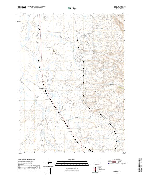
2021 Map of Red Buttes
USGS Topo · Published 2021About this map
Red Buttes serves as the focal point for this landscape in southern Wyoming, where the high plains meet distinct geological formations. The area is defined by a network of water resources vital to high-altitude ranching and settlement, including Leazenby Lake and Goforth Reservoir. The drainage patterns of Harney Cr and Willow Cr suggest a landscape managed for water retention, as evidenced by the Harney Cr Reservoir.
Find a feature on this map
43 named features on this map. Tap any name to fly to it.
Don’t see what you’re looking for? This feature index may not catch every label — zoom into the map to look around manually.
Map Details
Editions of this 2021 Red Buttes Map
This is the sole edition of this map. No revisions or reprints were ever made.
Other maps of this area

1895 · Laramie
USGS Topo · 1:125,000

1902 · Laramie
USGS Topo · 1:125,000

1905 · Sherman
USGS Topo · 1:125,000

1905 · Laramie
USGS Topo · 1:125,000

1906 · Laramie
USGS Topo · 1:125,000

1908 · Laramie
USGS Topo · 1:125,000

1948 · Sherman Mountains
USGS Topo · 1:62,500

1948 · Ragged Top Mountain
USGS Topo · 1:62,500

1950 · Ragged Top Mountain
USGS Topo · 1:62,500

1950 · Sherman Mountains
USGS Topo · 1:62,500